Before beginning to develop a green building project analysis and assessment of the natural conditions of the site on which construction is planned should be carried out. Knowledge of the site and its natural characteristics is a precondition for green building design, without which a couple of further steps, such as the orientation of the building, selection of construction materials, zoning of the space use, determining the size of transparent surfaces, sizing of sun shading devices, etc. cannot be made.
Identify regional environmental and human health issues or concerns such as air pollution, combined sewer overflow, or water shortages. Sites are part of a larger ecological and social community. Sustainable landscapes not only prevent environmental damage but also remedy existing problems at the site scale and beyond. It is important to understand the surrounding conditions and explore design options that mutually benefit the site and surrounding area.
The South directions should be established for the site, as this will help the analysis of the solar path. This applies if the site is situated in the northern hemisphere. However, for the sites in the southern hemisphere, the north orientation is important.
Principles for Green Architecture Site Planning and Design
Principles for Green Site Planning and Design that should be understood when thinking at the building site scale are:
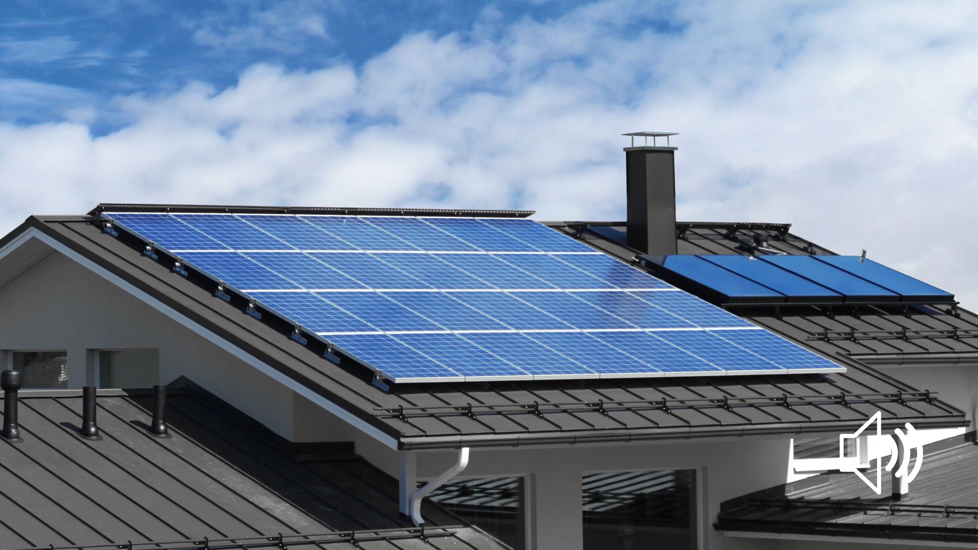
- Utilize renewable energy resources to meet site energy demand for lighting and heating
- Use existing buildings and infrastructure instead of developing in “greenfields”
- Minimize cooling loads through careful building location and landscaping
- Reduce material use or increase the efficiency of material use
- Protect and preserve the local ecosystem. Maintain the environmental function of the site.
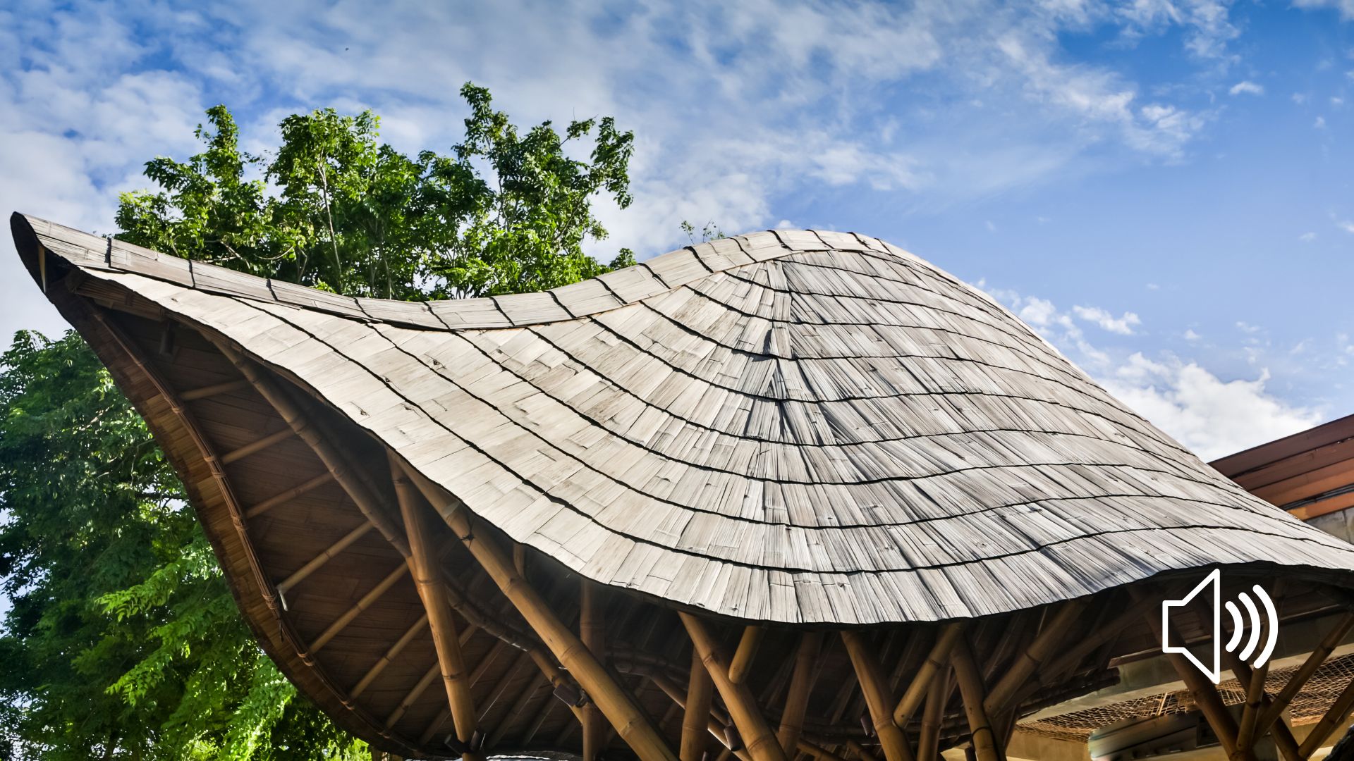
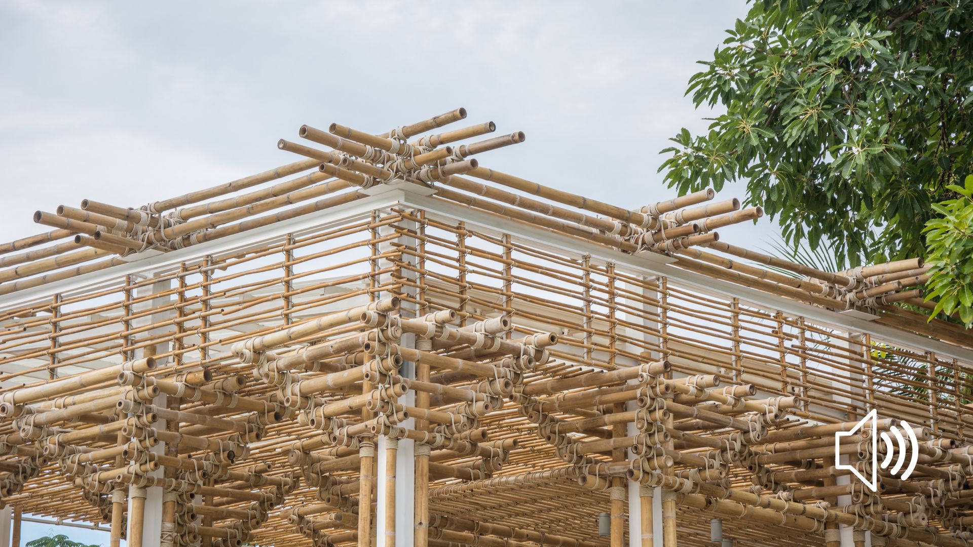
- Specify low-impact or green materials
- Site and buildings should be designed for longevity and to be recycled
- Design to minimize the use and runoff of water. Treat stormwater as a resource, not a problem
- Minimize waste
- Design should create or contribute to a sense of community.
The topics that should be considered during the site assessment phase are:
- Topography
- Climate and Energy
- Hydrology
- Vegetation and Wildlife
- Soils
- Human use and cultural
- Materials
Topography
Topography refers to the slope and level of the land, whether the land is flat and plain, or in sloping. Topography is a measurement of elevation and slope is the percentage change in that elevation over a certain distance.
Natural Physical Features
- Topographic contours,
- Major topographic features such as high points, low points, ridges and valleys, slopes, and flat areas,
- Drainage patterns on the site including directions of surface drainage (perpendicular to contours), major and minor arteries of water collection (ditches, arroyos, riverbeds, creeks, etc.), major drainage patterns onto the site from adjacent property and from the site onto adjacent property and any neighborhood water-related patterns such as viaduct systems or storm sewers.
- Existing natural features on the site and their value in terms of preservation and reinforcement versus alteration or removal. This would also include opinions regarding permanency in terms of difficulty or expense to remove features. On-site features might include trees (type and size), ground cover, rock outcroppings, ground surface texture, holes or ditches, mounds, on-site water (pools, ponds, lakes, rivers), and stable or unstable areas of the site (site scars versus virgin areas).
Climate and Energy
You need to obtain climate data for your site in order to analyze them. The best way to do this is to find your location or the one nearest to it and download the climate data file from the website of the national or local institutions responsible for climate data monitoring.
Information about many locations can be found on the following website:
https://www.ladybug.tools/epwmap/
The basic data you need to collect are listed in the table below:
| Data | Indicator and unit | Why we need it? |
| Temperature variation over the months of the year including the maximum highs and lows and the maximum ad average day-night temperature swing for the days of each month. | Temperature
°C or °F |
– heating and cooling,
– for optimizing the building envelope (selection of material), |
| Humidity variation over the months of the year including maximums, minimums, and averages for each month and for a typical day of each month. | Relative Humidity
% |
– for selecting a green building strategy; if humidity is higher, ventilation should be provided in a building
– for selecting materials |
| Rainfall variation over the months of the year in inches. Should include the maximum rainfall that can be expected in any one day. | Precipitation
mm or inch |
– This information is important for roof shape and sloping;
– Potential to use rainwater for building’s purposes; – If planning a green roof, water drainage should be properly addressed, etc. |
| Prevailing wind directions for the months of the year include velocity in feet per minute or miles per hour and variations that can be expected over the course of the day and night. Should also include the maximum wind velocity that can be expected. Create or study existing wind rose diagrams. | Wind strength
mph (miles per hour) or km/h (kilometers per hour)
Wind direction |
– Direction of winds can use in the cooling of corridors and courtyards and public spaces.
– Strength of the winds if is beyond 5m/s can be used to generate renewable energy for the clean energy in place of energy from fossil fuels. – Obstruction to the use of winds sources have to be identified. |
| Sun path at the summer and winter solstice (high point and low point) including altitude and azimuth at particular times of the day for summer and winter | Solar altitude angle and azimuth | – Orient buildings to reduce energy use and outdoor gathering space to take advantage of comfortable microclimates. |
| Sky Cover
% |
– This information is important for the sizing and efficiency of solar, and especially photovoltaic panels | |
| Energy-related data such as degree days or BTU’s of sunlight falling on our site. | Normal degree days
°C/days or °F/days |
– This information is useful in calculating heath losses and the amount of energy needed for heating and cooling |
| Snowfall variation over the months of the year in inches. Should include the maximum snowfall that can be expected in any one day. | Snow depth
cm or inch |
– It has an influence on the shape of the roof |
Additional data you can pay attention to include:
- Potential natural catastrophes such as earthquakes, hurricanes and tornados. May include documentation of earthquake zone that our site lies within and history of natural catastrophes in the area.
- Identify surfaces that heat or cool the site, such as bodies of water, dark pavements, or roofs.
- Identify onsite conditions that provide opportunities for renewable energy strategies, such as wind, solar, and geothermal.
Depending on our particular project, some of these issues will be more important than others. Some analysis categories may drop out completely and new ones may be required.
All climate data is usually available from the local weather service. There are also weather profiles for different locations which are published by the armed services and by universities.
Climate zones
Comparing the characteristics of climate zones and their relation to fundamental building requirements
| Climate elements | Climate zone | |||
| Polar zone
cold |
Temperate zone
temperate |
Subtropical zone
dry + hot |
Tropical zone
moist + warm |
|
| Solar radiation
kWh/m2K |
Low | Very diverse in central Europe a high proportion of diffuse radiation and freque clou cover, in the transition zones to the tropics sometimes more direct radiation |
Intensive direct | High with a cloudless, otherwise mostly tempered by cloud cover |
| Average Daily temperature
°C |
Very Low
0-6°C Summer: many hours of daylight Winter: many hours of darkness |
High max. 35-38°C as annual average individual temperatures in continental deserts regions >50°C |
||
| Night-time temperature
°C |
Very Low | Moderate, sometimes low min. temp approx.. 16-20°C as annual average, individual temperature as low as 0°C possible |
||
| Daily temperature differences
°C |
Low | Moderate to Low (central Europe 6-8K on average) |
High (20K on average) |
Low daily average: approx. 7K |
| Annual temperature differences for continental location
K |
High
(Siberia 45-60K) |
High (central Europe 18-20K on average) |
Above 18 °C | Low annual average: approx. 5K |
| Annual temperature differences for costal location
K |
Moderate/Low
(Iceland, Norway 11-15K) |
|||
| Relative humidity
% |
Low
especially in winter |
Moderate to High approx. 80% | Low approx.. 10-50% |
High
(60-80%) |
| Cloud coverage | Low | Low usually clear skies, sometimes a high dust content in the atmosphere |
High | |
| Period of frost
month |
Long
(5-9 months) partly permafrost deeper in the ground |
|||
| Precipitation
mm/a |
Low
approx. 250mm/a in the Arctic borders |
Moderate central Europe approx. 800-1000 mm/a, in transition zones to the tropics approx. 300-400 mm/a |
Very Low approx. 0-250 mm/a, but occurs as sporadic short periods of heavy rainfall |
High 1200-2000mm/a in extreme cases up to 5000 mm/a |
| Storms / Winds | Diverse, sometimes severe winds, in the form of sandstorm/dust-storms in desert regions | Light winds, but sometimes stormy gusts during rainfall Tropical storms, cyclones, typhoons, hurricanes) in certain regions |
||
| Design recommendations | ð Protect against cold for most of the year
ð Protect against strong wind and storms, mainly in the cold months ð Best-possible use of the sun’s warmth during the short summer |
ð Protect against overcooling in winter
ð Protect against overheating in summer ð Protect against occasional, in some regions frequent, precipitation |
ð Protect against loads of high heat absorption due to direct solar radiation and high temperature
ð Protecting building components and building materials against direct solar radiation, plus their selection and use taking into account the high, short-term temperature differences |
ð Relief from the unfavorable influence of heat and moisture (humid conditions) by using air calculation to promote heat dissipation via transpiration
ð Protecting building and building components against direct solar radiation and undesirable heat storage through shading and the right choice of building form and orientation ð Protecting building components against permanent saturation through well-controlled rainwater drainage and good ventilation |
It is important to say that each location, regardless of the climate zone it belongs to, has its own microclimate characterized by local climate variations as compared to regional climate. These variations occur due to differences individual locations have as regards their altitude, slopping, orientation and configuration of the terrain, vicinity of large water bodies, etc.
These differences need to be identified and they are mostly reflected in small but significant variations in daily air temperatures, exposure to wind and solar radiation, which have the greatest impact on energy needs of the building. For example, if the site is exposed to strong and cold winds in winter, and the building is not sufficiently protected by terrain configuration, greenery or some other obstacle, it is clear that it will cool down, i.e. the need for heating will be greater, and vice versa, if such winds occur in summer, it is clear that the needs for building cooling will be lesser.
In general, very unfavourable sites when climatic conditions are concerned are:
- sites with low microclimatic temperatures,
- sites with extremely strong wind,
- sites with low solar radiation and
- sites with an extremely high level of air pollution and fog.
Hydrology
Sustainable sites treat all water as a resource and strive to promote water quality and support healthy hydrologic processes. Potable water requirements can be reduced or eliminated through design strategies such as rainwater harvesting, greywater reuse, or stormwater treatment trains.
- Map the natural overland water flow and areas of ponding such as stormwater, greywater, and wastewater, available onsite for reuse and protect them. Research existing drainage infrastructure. Identify the water source, treatment location, and strategy. Field-check and identify building, hardscape, and landscape materials such as treated lumber or galvanized metal that might be sources of pollutants.
- Map the 100-year floodplain. Development of floodplains or alterations in floodplain topography can increase the risk of flooding and property damage.
- Map existing water bodies (e.g., lakes and streams) and their associated shorelines or vegetated buffer zones.
- Locate and delineate existing wetlands and their associated buffers. Existing natural wetlands should not be used for stormwater management or wastewater practices. Altering the site’s drainage patterns, soil conditions, and groundwater levels can impact the health of wetlands.
- Identify sources or potential sources of water pollution and health hazards existing onsite.
- Determine seasonal groundwater Through careful design and maintenance, sites can reduce pollutant sources and the volume of stormwater runoff. Special attention should be given to the selection of materials, onsite treatment of stormwater, and maintenance practices. Groundwater elevations can impact the site’s hydrology and suitability for excavation, storm- and wastewater management, and other site features. Special consideration should be given to site development and maintenance strategies to avoid the contamination of groundwater.
- Captures rain and wastewater for reuse on-site or on adjacent properties. Work with the building architect to include opportunities for greywater, air-conditioner condensate, and wastewater collection in the building design. Landscape primarily relies upon precipitation or wastewater resources such as air-conditioner condensate, greywater, or reclaimed water.
- Protect and restore native vegetative buffer zones along riparian, wetland, shoreline, and other water bodies.
- Identify existing and potential stormwater runoff sources and begin to explore options to capture, cleanse, and reuse the water on-site.
Vegetation and Wildlife
Both urban and rural sites can provide a variety of plant and animal habitats. Look for opportunities to improve or restore habitat onsite or connect and extend surrounding areas of habitat. Avoid the development of threatened or endangered species habitat. Areas of low-quality habitat should be considered first for design elements that require significant soil and vegetation disturbance.
Incorporating existing vegetation into the site design provides a variety of environmental and economic benefits. Look for opportunities to minimize disturbance and artfully incorporate existing vegetation into the design solution. Areas of degraded vegetation or invasive species should be considered first for design elements that require significant soil and vegetation disturbance
- Maximizes the integration of all existing native and ecologically appropriate vegetation into the site design. Identify and map vegetative communities (i.e., woodland, tall grass prairie, riparian). Conduct a qualitative inventory to determine the health and quality of the community. Survey existing site vegetation. Survey existing site vegetation. Create a vegetative cover map that identifies (1) trees over 20cm diameter at breast height or as required by local ordinance, (2) heritage or special-status trees, (3) invasive species, and (4) other significant or dominant vegetation
- Note wildlife species associated with the community. Record current maintenance and management practices. Identify areas to be protected or those suitable for development. Protect and restore terrestrial and aquatic native plant communities and other site conditions that support wildlife habitat.
- Investigate the site for habitat that may support plant or animal threatened and endangered species. Remove and avoid the use of exotic vegetation that is invasive to the region.
- Strategically locate vegetation and vegetated structures, such as trees and shade trellises, to create comfortable microclimates and reduce the energy consumption of surrounding buildings. In fire-prone areas, lay out the site, design structures, and select vegetation to reduce the risk of damage or loss due to wildfire.
- Identify areas to be protected and those suitable for development. In addition, generate a general species list of dominant vegetation in the canopy, subcanopy, and herbaceous level. Include common and Latin names. Estimate the frequency or percent cover.
- Note any unusual or unique vegetation. Determine whether the vegetation is native to the region.
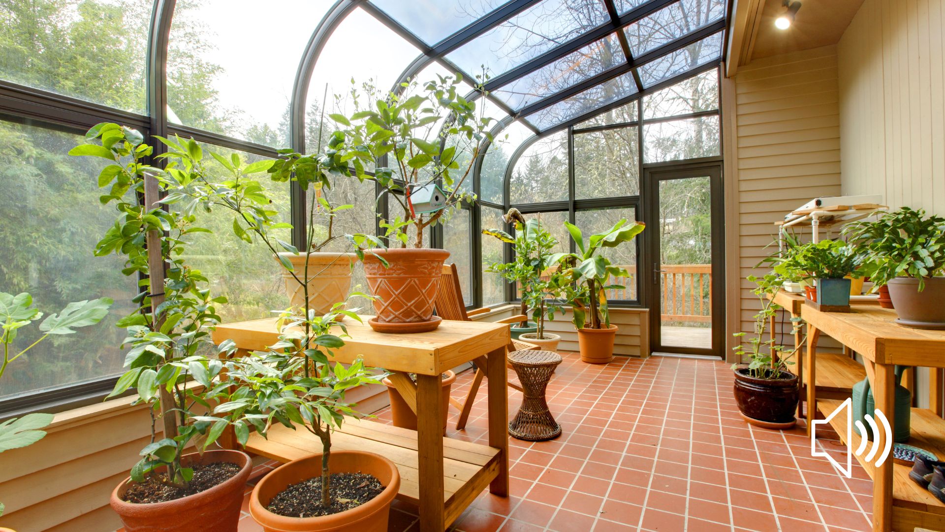
- Consider options to grow food for the site users and others.
- Explore options for the landscape to provide physical, mental, and social health benefits to the site users. Provide experiences that connect people to nature and build an environmental ethic.
- Provide opportunities for people to visually and physically connect with nature.
- Create landscapes that are inspiring and encourage a sense of stewardship.
Soils
It is very important for green buildings to be built on healthy and adequate land, as well as to meet different needs, such as food production for the building.
- Determine soil type and document characteristics, such as texture, bulk density, pH, infiltration, drainage, erosion potential, and depth. Field check and map healthy and degraded soils. Determine the areas to be protected and those best suited for development. Protecting healthy soils reduces restoration costs and improves plant performance.
- Investigate the site to determine if any soils are categorized as prime The development of these unique and high-quality soils should be avoided. The disturbance of healthy soils is minimized. Degraded soils are restored prior to replanting.
- Areas of degraded soils should be considered first for design elements that require significant soil and vegetation disturbance.
- Soil biota and organic matter from on-site vegetation promote healthy plant growth.
Human use and cultural
It is necessary to determine prior uses of the site, if any, or some other characteristics important for the overall quality of the site, such as the views that are valuable to be preserved.
- Research the site’s history and prior uses. Identify and map historical or cultural landscape features.
- Determine the locations of existing public infrastructure such as roads and utility networks. Existing public infrastructure can influence the placement of items such as buildings and site entrance and egress locations. Identify existing and planned public transit and bicycle or pedestrian systems located within ¼ mile (400m) of the site. Mass transit and other alternative transportation options reduce the generation of greenhouse gases and improve air and water quality. Understanding the local transportation systems provides opportunities for the site to connect with and encourage the use of public transit and nonmotorized transportation.
- Identify project stakeholders. Site users and other stakeholders can provide unique insight and become active stewards of the site.
- Document existing site uses and their associated user groups.
- Map characteristic site features that are unique or memorable such as rock outcroppings or view corridors.
- Identify potential or existing odors, noise pollution, or unsightly features that may be considered an annoyance
- Observe the site during various times of the day.
- Create a unique site that reflects the local culture, materials, and vegetation
- Design sites to promote physical, mental, and social health.
- Protect and maintain unique or historic site attributes.
Materials
If the site already possesses a building you don’t want to keep or some other material suitable for construction you can consider material conserving; rehabilitation of existing structures; use of reclaimed or recycled materials and components or use of nonconventional building materials.
Identify and map existing buildings and landscape materials, such as outdoor structures, roads, and pathways. Note the materials size, condition, and potential for reuse